Pedestrian and Cycling Pathway - Repair - WAM at 1649 Memorial Dr NW
Submitted Wed Aug 22, 2018
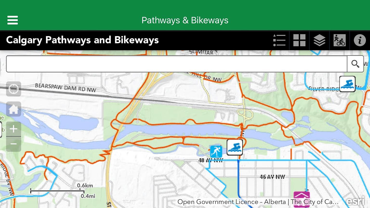
The symbols for pathway closures have gone from city pathway app - thus no details nor dates. Zooming in shows closure areas but no information. I use an iPhone app version and symbols have always been visible and interactive before.
Issue: Closures - Detours
Date Noticed: Tue Aug 21, 2018
address: 1649 MEMORIAL DR NW
coordinates x,y: -6735.115917489822, 5656956.03682563
coordinates lat,lng: 51.04882460156285, -114.0960554479941
ward: 7
| Timestamp | Description |
|---|---|
| Thu Aug 23, 2018 08:57am | Closed with status: Completed - Close SR |
| Thu Aug 23, 2018 08:57am | Stage 3 Message (NB: Integrated) >> Completed - Close SR |
| Wed Aug 22, 2018 04:10pm | Opened |
| Wed Aug 22, 2018 04:08pm |
Submitted via iPhone |